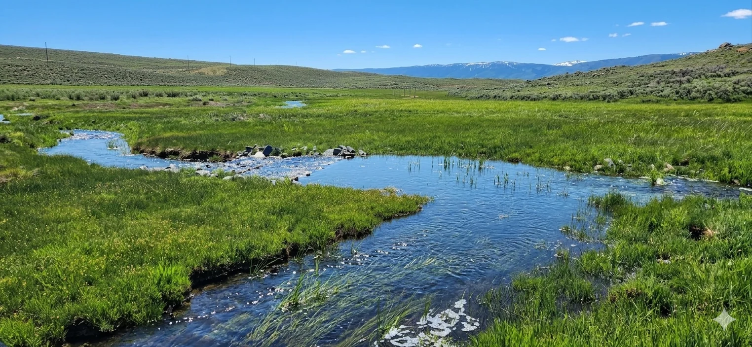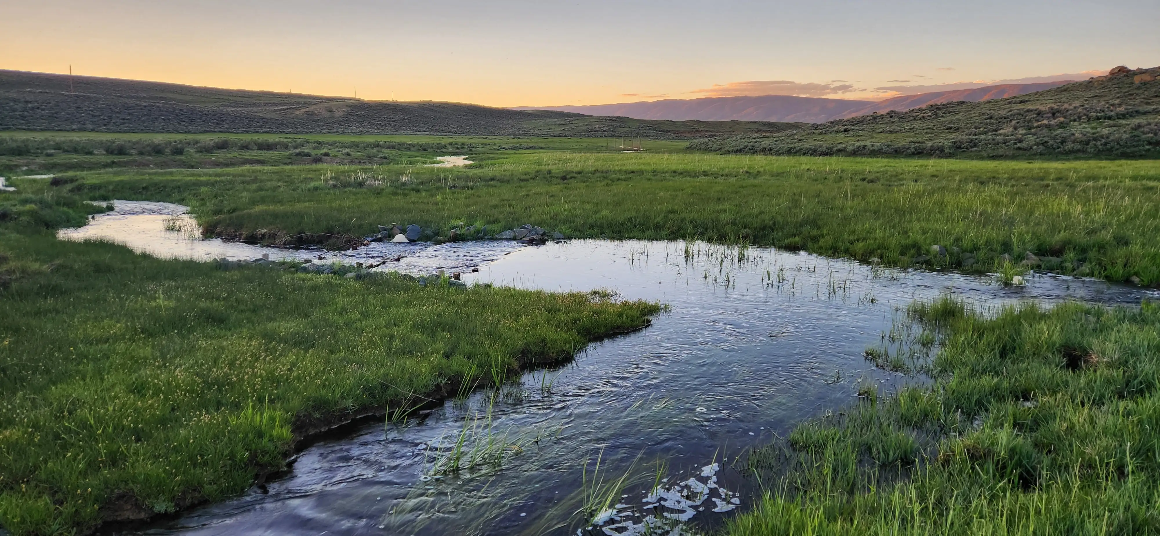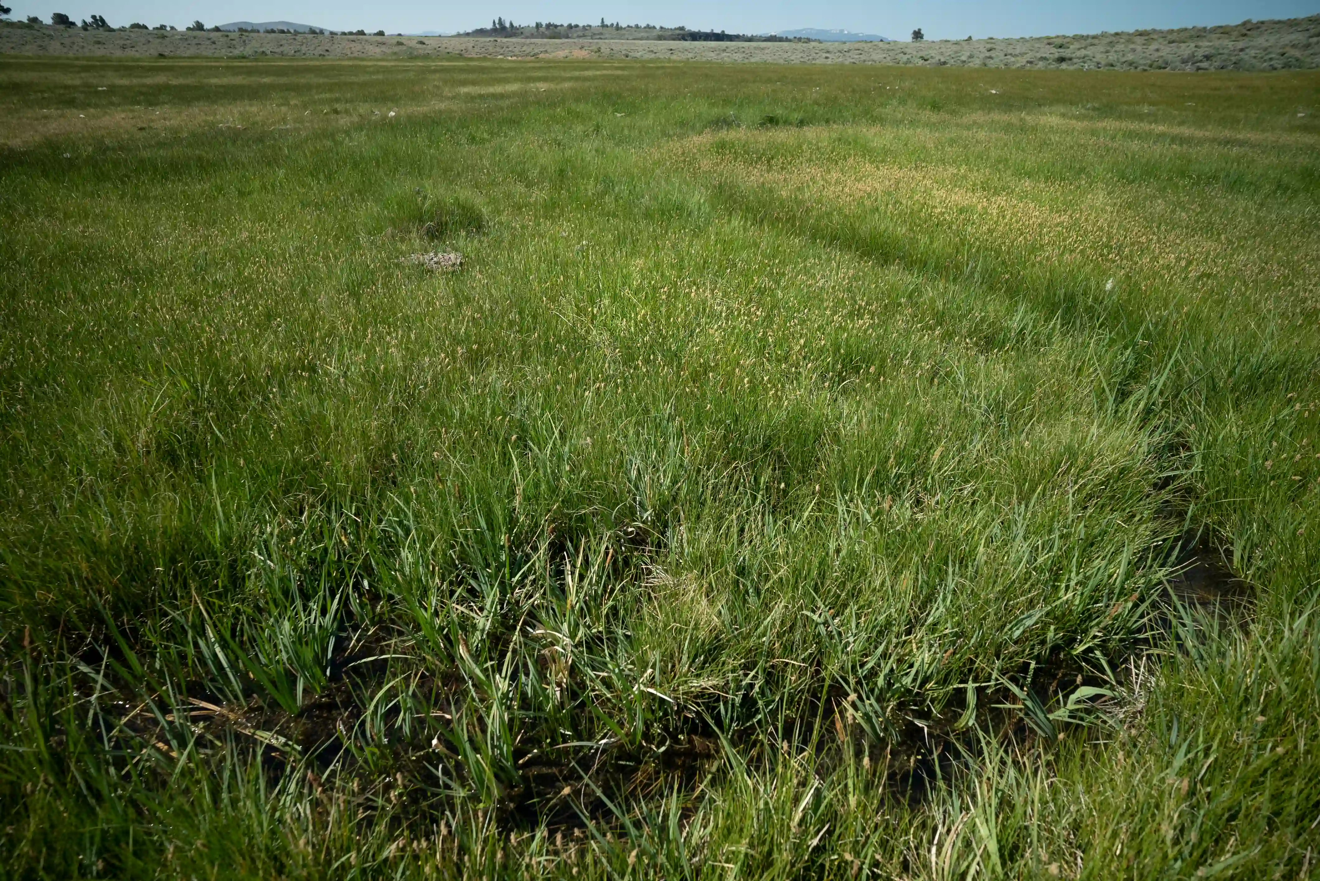
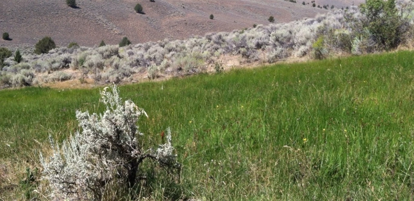
Wet Meadows
Open, grass-dominated systems fed by groundwater or seasonal flooding — green well into late summer.
The seasonally wet places that keep the West green — and the science behind how we identify them.
Definition
“Mesic” describes the wet, green places in western landscapes where water meets land — riparian areas along streams and rivers, wet meadows, springs and seeps, irrigated fields, and high-elevation habitats. Sustained by snowmelt, groundwater, or favorable topography, these areas hold a well-balanced supply of moisture through the growing season, staying green and productive long after the uplands around them have turned brown.
Why they matter
Although mesic resources cover only a small fraction of the landscape, they disproportionately support ecological and agricultural productivity. They provide late-season forage, critical habitat for species like sage-grouse, and verdant corridors that can slow wildfire spread across surrounding uplands.
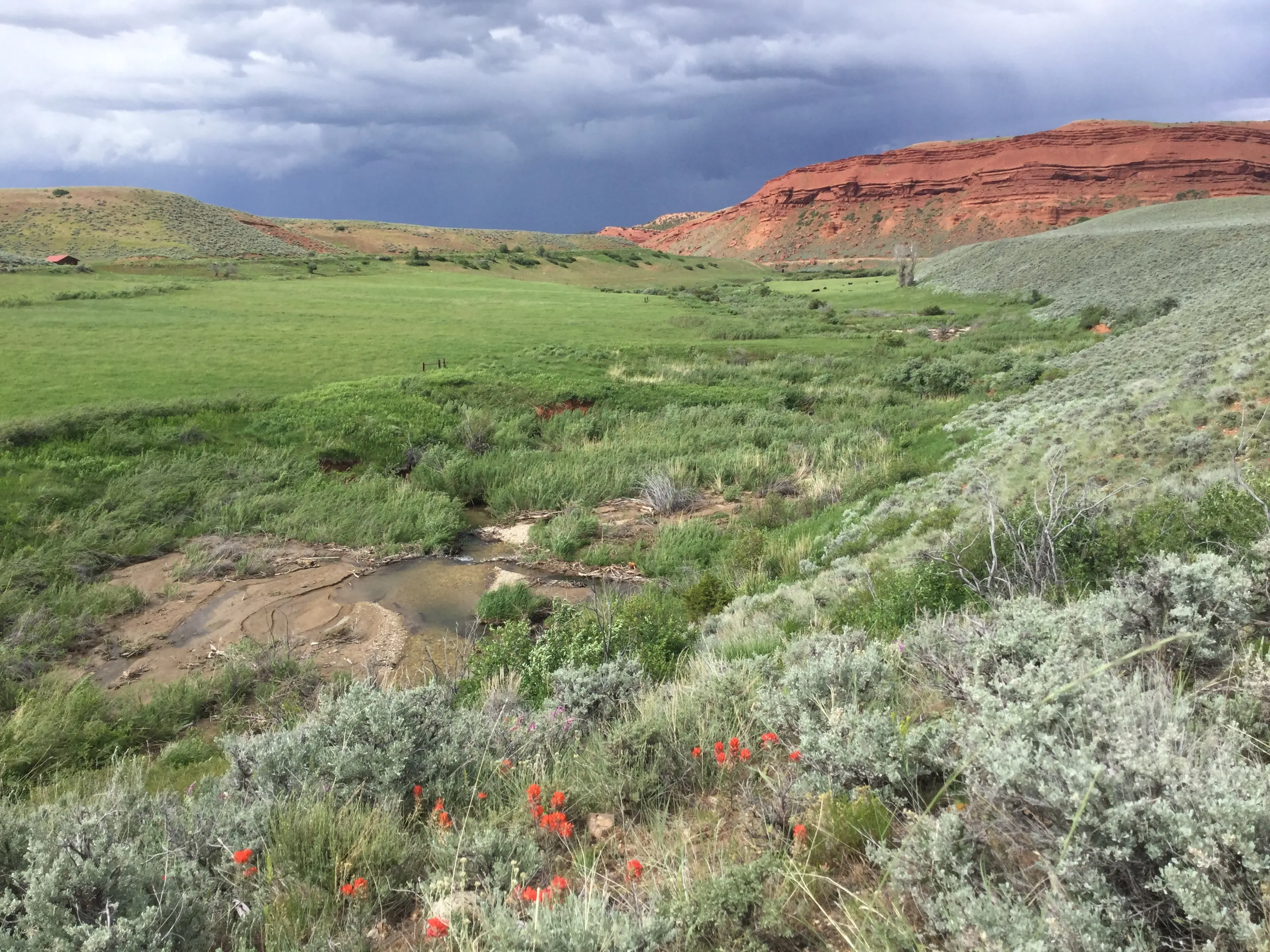
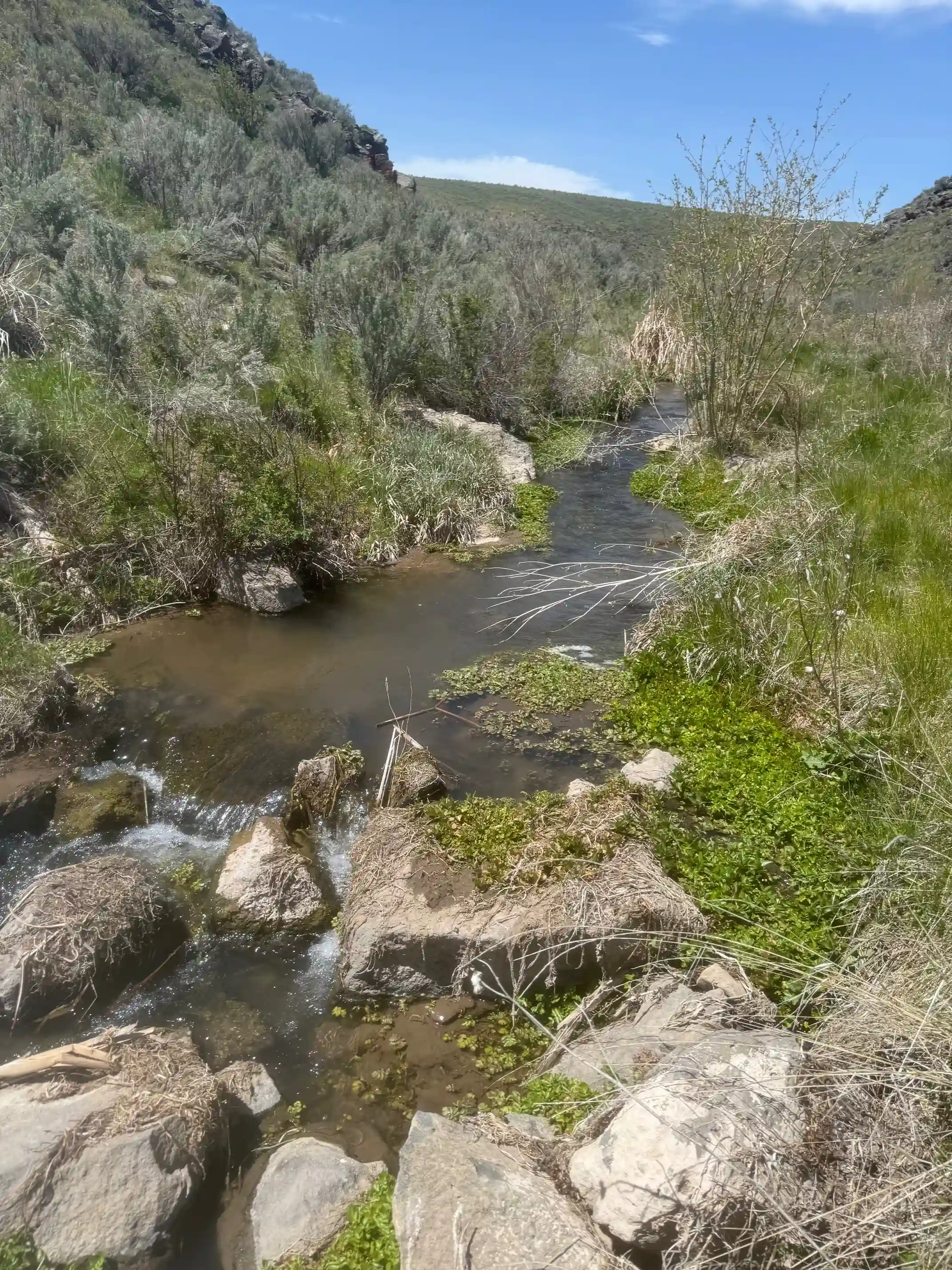
Examples
From wetlands to drought-resistant uplands, mesic systems take many forms across the sagebrush biome.
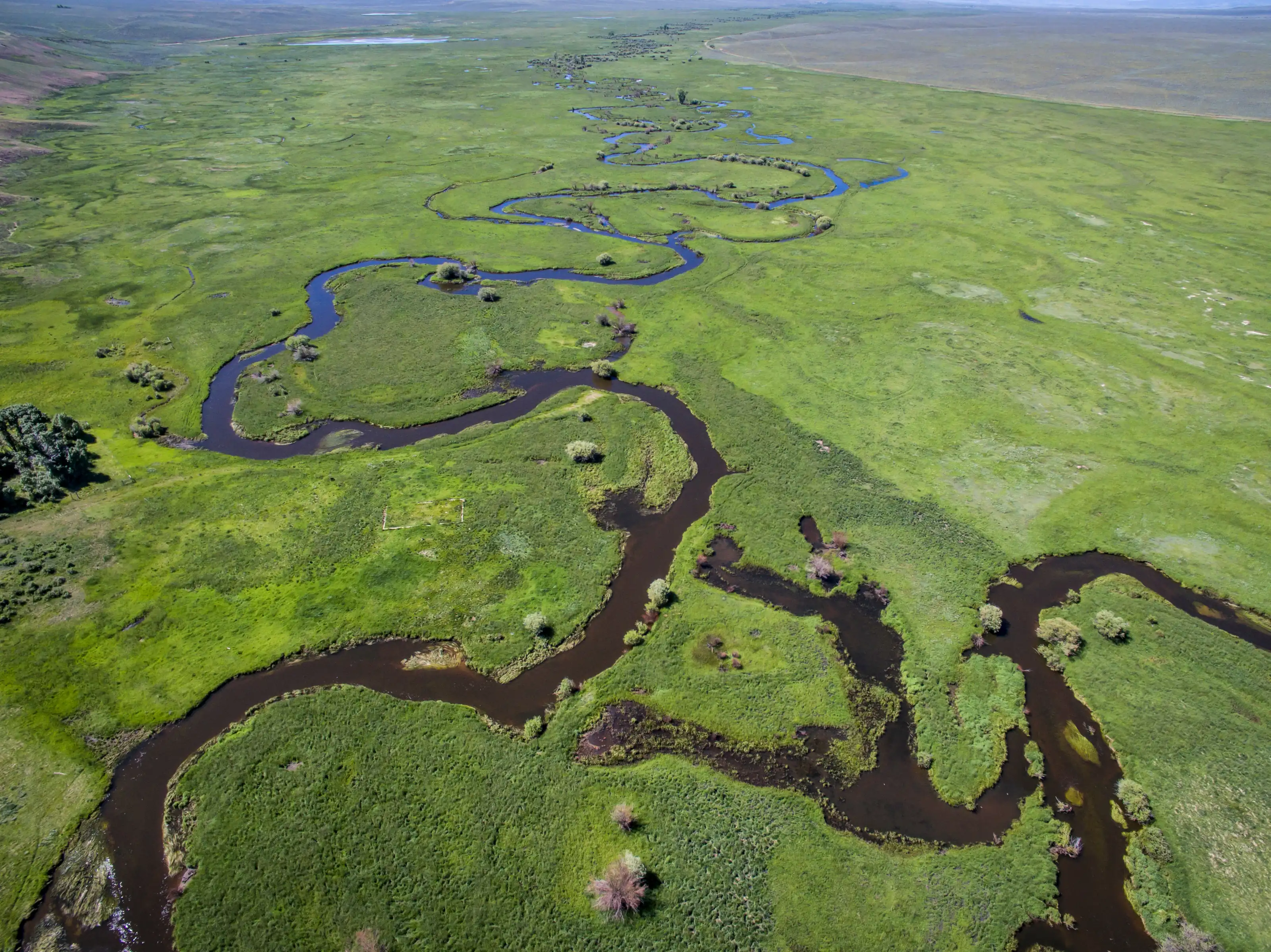
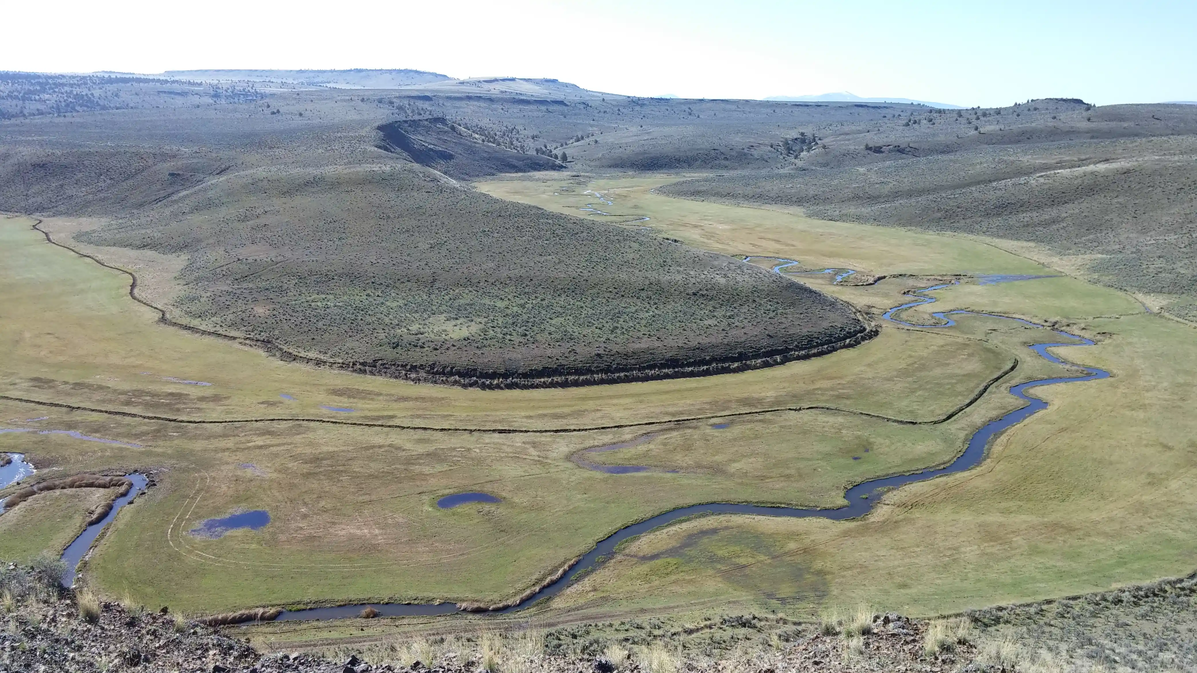
Open, grass-dominated systems fed by groundwater or seasonal flooding — green well into late summer.
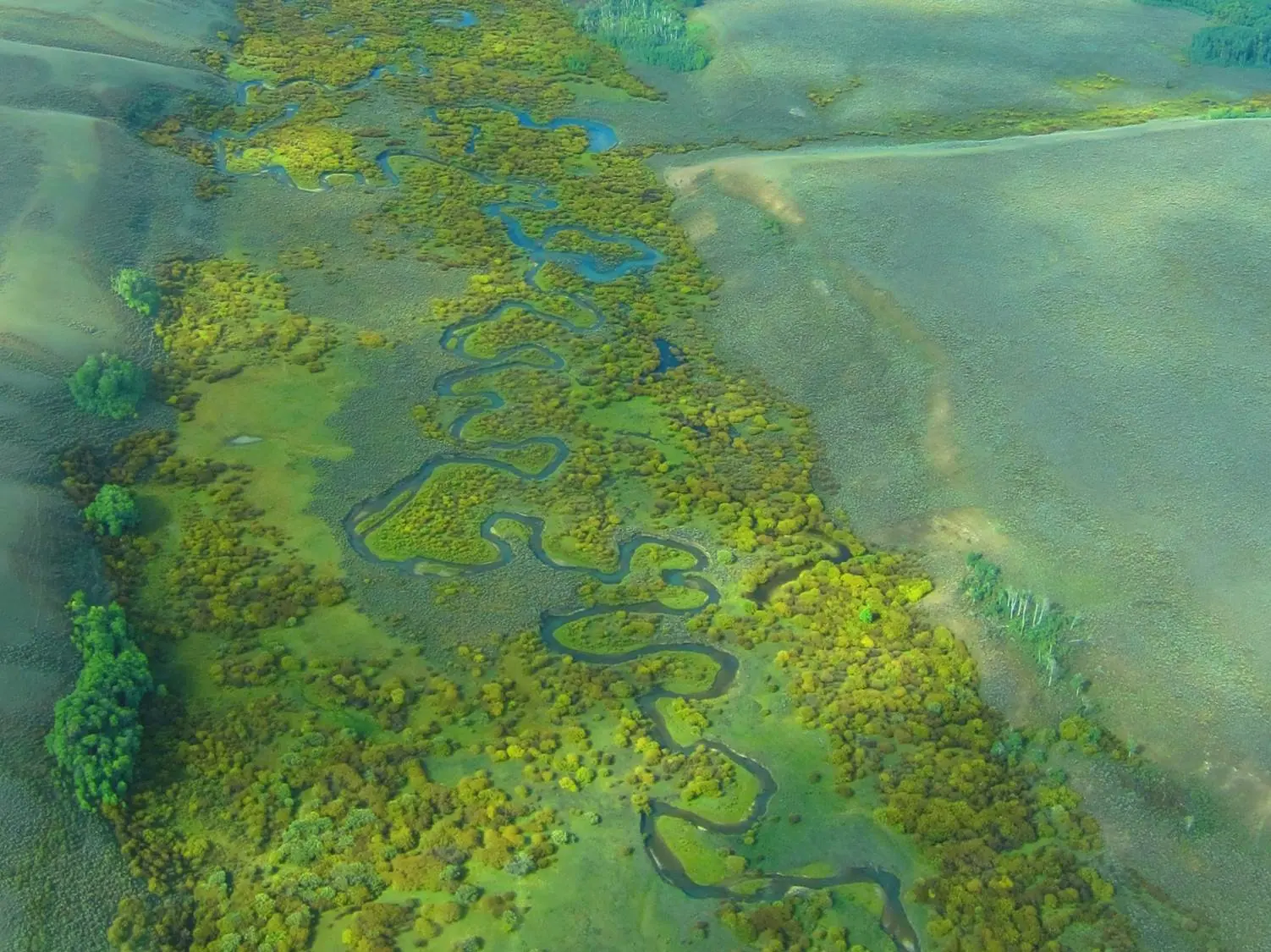
Vegetation along streams and rivers, often the most visible mesic feature on the landscape.
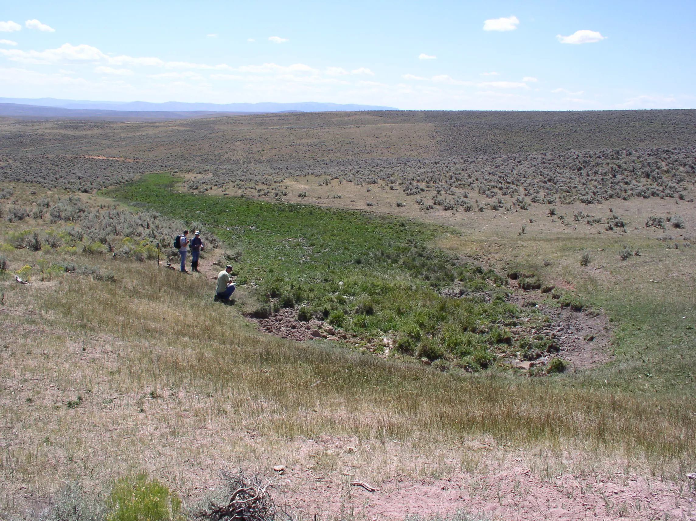
Small, point-source systems where groundwater surfaces — disproportionately important for wildlife and water quality.
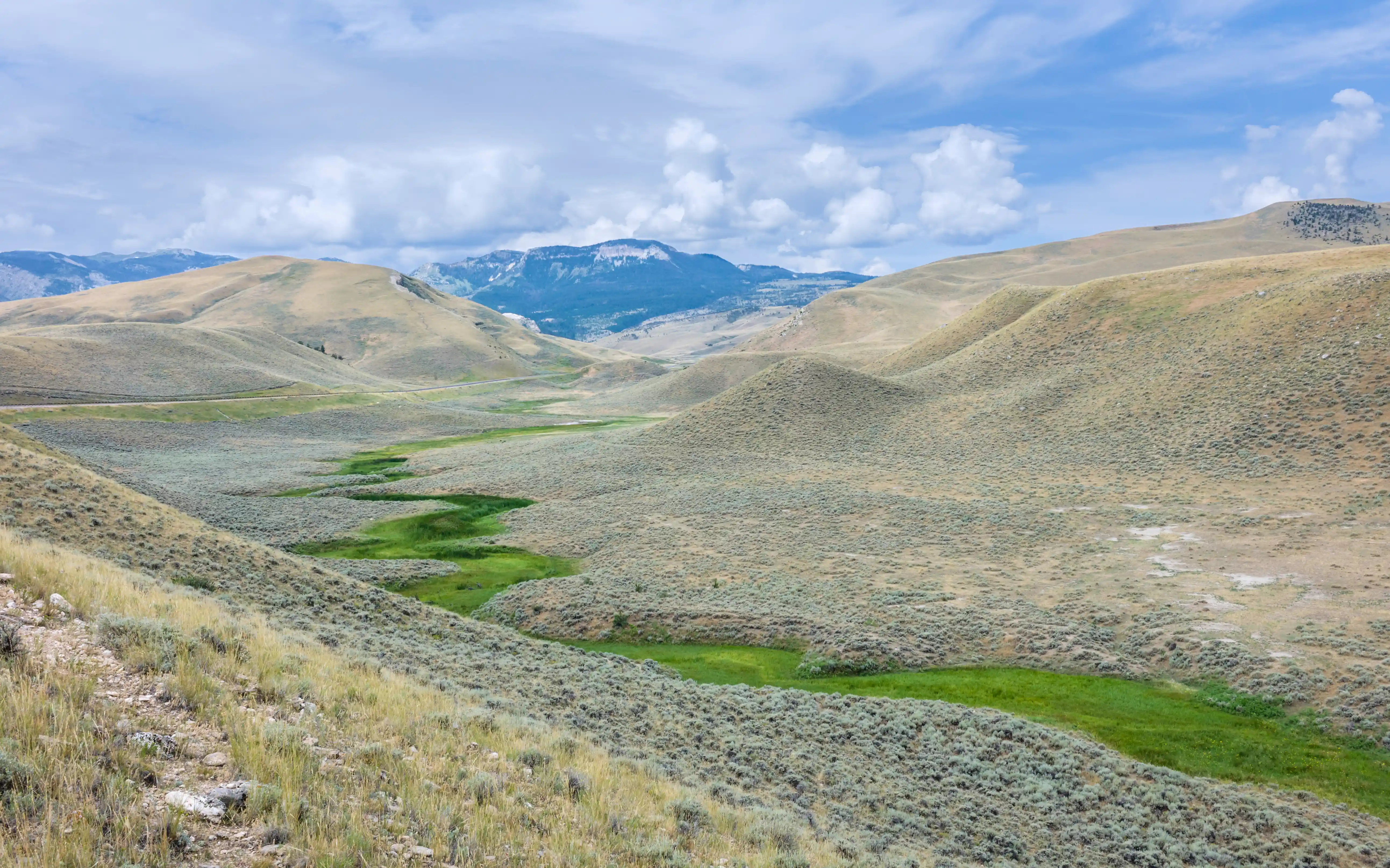
Broad valley floors where shallow groundwater keeps soils wet through the dry season.
Cooler, wetter aspects that retain moisture longer than south-facing terrain — often overlooked but ecologically significant.
Low-elevation drainage features that channel and hold runoff, supporting late-season productivity.
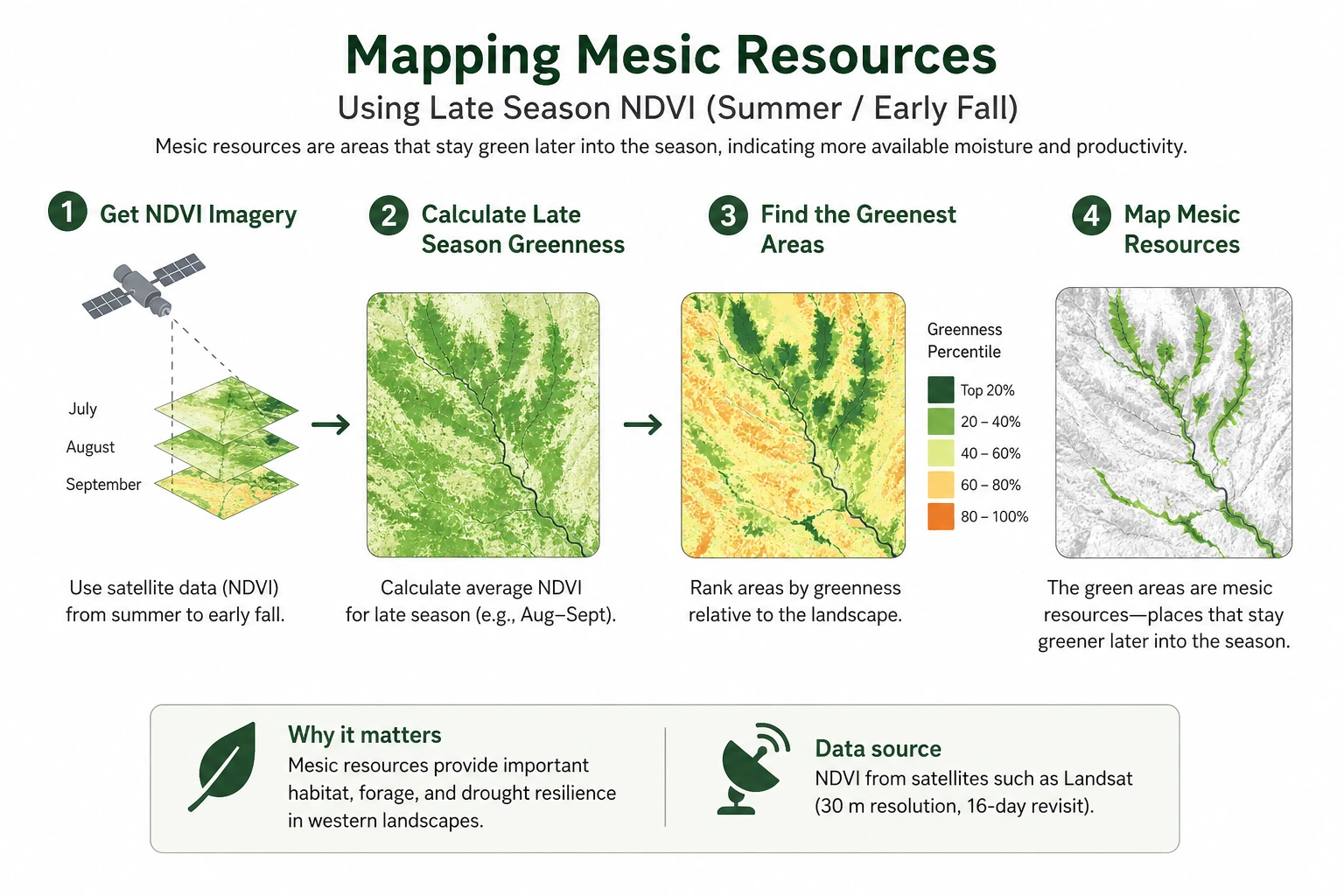
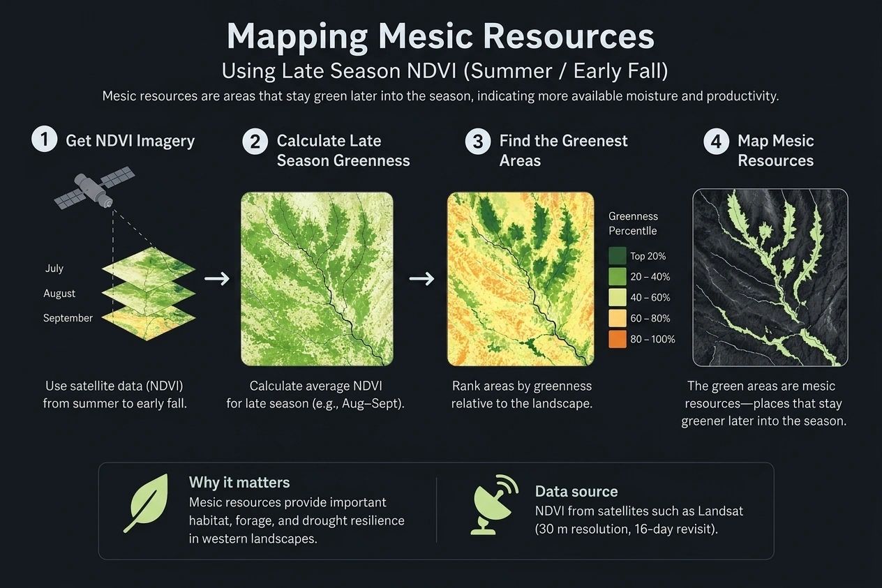
Methodology
The Mesic Analysis Platform (MAP) measures vegetation greenness using 40+ years of Landsat satellite imagery and the Normalized Difference Vegetation Index (NDVI): a standard remote sensing measure of vegetation productivity. In the arid West, NDVI during the summer and fall is a reliable indicator of mesic conditions, because places with reliable moisture stay green and productive longer than the dry country around them.
MAP identifies persistence — the places that stay green and productive year after year, even through drought. Persistence matters because it separates durable mesic systems, which conservation practitioners can rely on, from places that green up only in wet years. MAP doesn't measure soil moisture directly; it tracks how vegetation responds to it across decades — the most reliable signal available at landscape scale.
The Science
For more than a decade, Working Lands for Wildlife scientists and partners have published peer-reviewed science on the role of mesic resources in the sagebrush biome, how to find them, what they do for wildlife and ranchers, and what happens when we restore them.
The science shows that low-tech, process-based restoration — beaver dam analogs, Zeedyk structures, and grazing changes — lifts vegetation productivity by up to 25% and keeps treated areas green longer year after year. Our research also shows how mesic areas drive where sage-grouse live, anchor private-land stewardship across mixed ownership, and buffer the biome against drought. Together with the Sagebrush Conservation Design, this work shapes every layer in the Mesic Analysis Platform — so practitioners can act with confidence.
Putting it to work
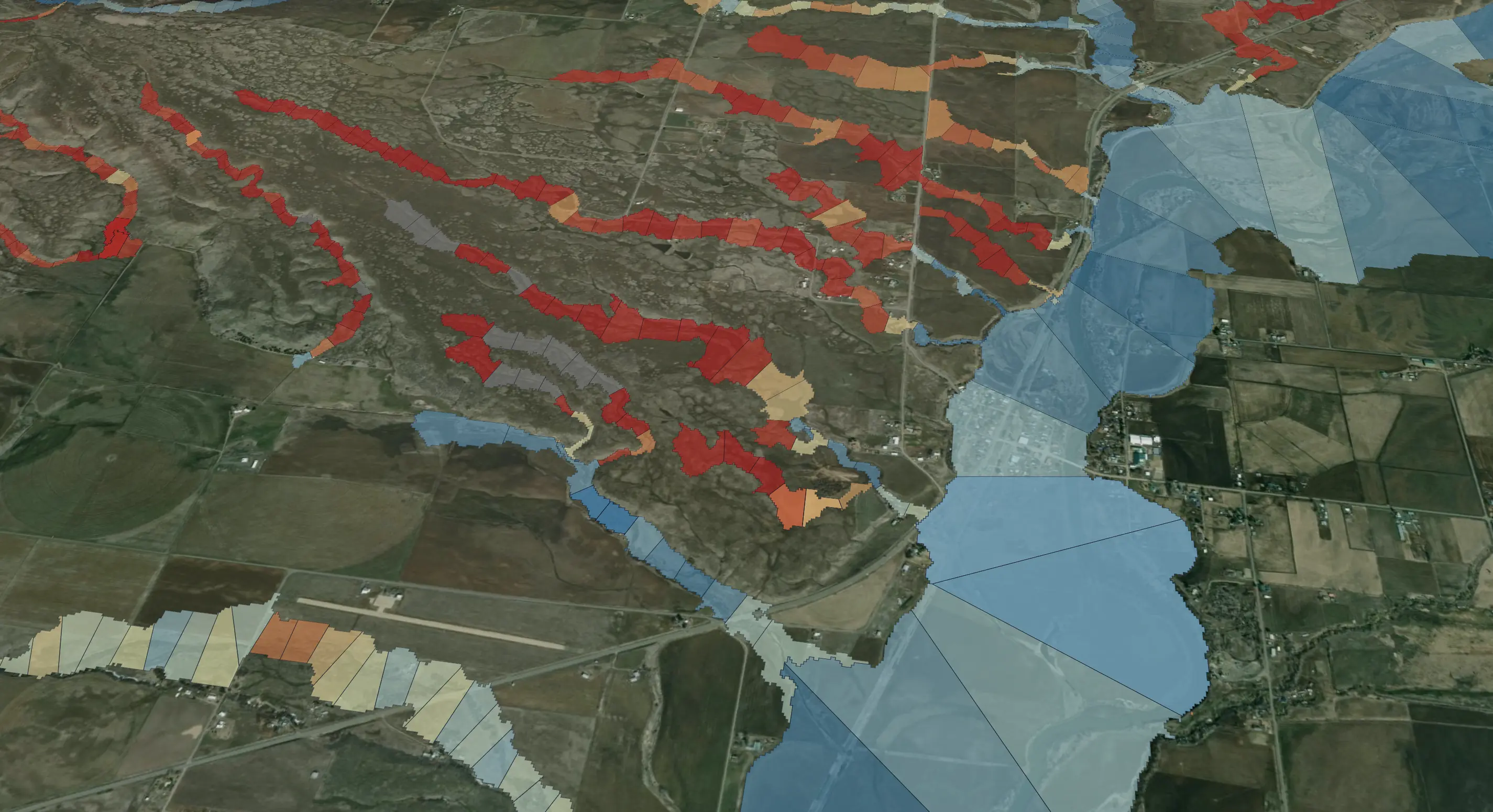
Mesic resources are scattered across the 175-million acres of public and private land encompassed by the sagebrush biome. They only represent 1–2% of the landscape, so identifying where they occur and which areas need help is an enormous task. Finite conservation dollars, staff time, and restoration effort means that conservation practitioners have to direct resources to the watersheds and stream reaches where outcomes will be greatest.
MAP is a screening tool. It provides the first look at the landscape — narrowing millions of acres down to the watersheds and reaches most likely to deliver conservation value — so practitioners can focus where it counts. The platform integrates four decades of mesic persistence with the Sagebrush Conservation Design, drought history, land ownership, and reach-level field metrics, but it doesn't replace ground truth. Final decisions still depend on site visits, local knowledge, and on-the-ground judgment — the part of the work satellites can't do. MAP aids conservation professionals so that they can put the right practice in the right place at the right time, with confidence.
Identify, score, and act on the highest-impact restoration opportunities across the sagebrush biome. Backed by science, built for partners.
© 2026 Working Lands for Wildlife. All rights reserved.